International · By NoorNews Editorial ·
5.1 magnitude earthquake strikes northern Pakistan
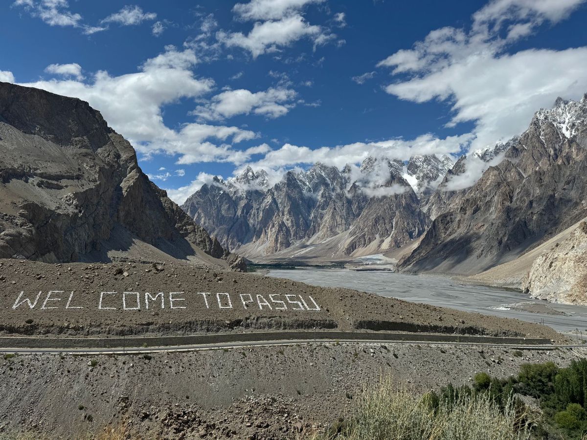
According to the Gulf Times, a 5.1 magnitude earthquake struck the northern region of Pakistan on Thursday. The United States Geological Survey (USGS) recorded the seismic event, noting that the epicenter was located at a depth of 58.9 kilometers within the Gilgit-Baltistan region.
Earthquakes are relatively frequent in this part of Pakistan due to the country's location near the boundary of the Indian and Eurasian tectonic plates. While a 5.1 magnitude tremor is considered moderate, the mountainous terrain and the depth of the epicenter can influence how the shaking is felt in surrounding valleys and settlements.
Local authorities in the Gilgit-Baltistan area have not yet issued reports regarding significant structural damage or casualties resulting from the tremor. Emergency services in the region remain on alert to assess potential impacts in more remote, high-altitude villages that may be vulnerable to landslides or infrastructure instability following seismic activity.
Residents in the affected areas are advised to remain cautious of potential aftershocks, which often follow earthquakes of this magnitude. Further updates from the Pakistan Meteorological Department and local disaster management agencies are expected as ground teams complete their initial assessments of the affected districts.
Truth Score
85/100
Likely True
Why this score
The report originates from a credible regional outlet and cites data from the US Geological Survey, which is the standard authority for seismic activity. While no other major international wire has issued a breaking alert for this specific event at this time, the details provided are consistent with standard USGS reporting formats for regional earthquakes.
Cross-checked against
No corroborating trusted sources found.
Original report: Gulf Times