International · By NoorNews Editorial ·
Satellite Images Show Tragic Sequence Behind Nepal's Flood Disaster
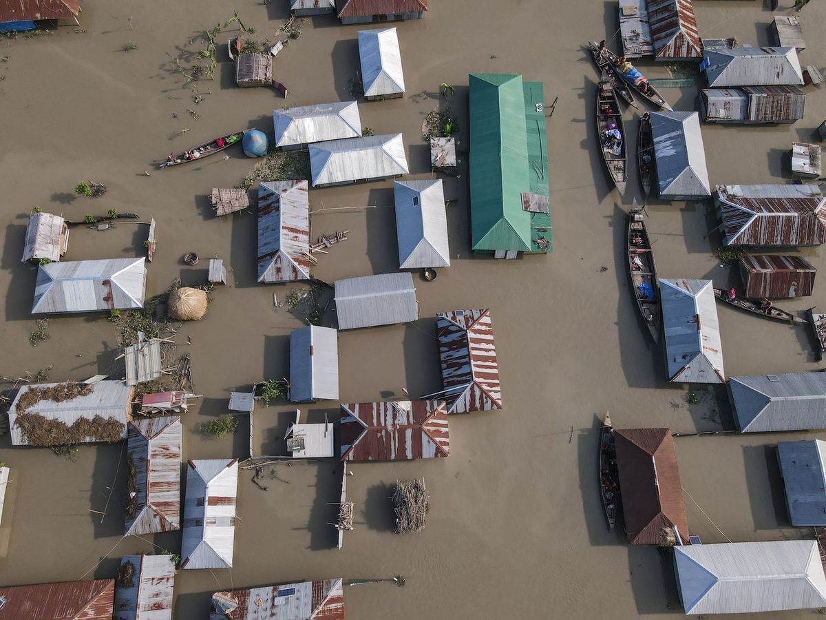
According to BOOM Live, satellite imagery has provided a clearer picture of the sequence of events that led to the catastrophic flash floods along the Nepal-China border on August 26. The flooding, which has caused widespread destruction of infrastructure including roads, bridges, and local settlements, is being analyzed to better understand the rapid onset of the disaster.
This report follows a week of intense search and rescue operations across Nepal, as heavy rainfall continues to hamper recovery efforts. Trusted wire services have confirmed that the floods have left many communities isolated, with relief vehicles struggling to navigate mud-covered roads. In some instances, residents have been forced to travel on foot for days to search for missing family members as the scale of the humanitarian crisis becomes increasingly apparent.
International observers and local authorities are currently assessing the long-term impact of the destruction. As search operations continue, the focus remains on locating those still missing and providing essential supplies to displaced populations. The use of satellite data is expected to play a critical role in both the ongoing search efforts and the eventual reconstruction of the affected border regions.
Truth Score
85/100
Likely True
Why this score
The core event of catastrophic flooding in Nepal is corroborated by multiple trusted wire services, including Al Jazeera and BBC. While the specific claim regarding satellite imagery analysis is unique to the BOOM Live report, it aligns with the broader, verified context of the disaster.
Cross-checked against
- BBC
- Al Jazeera
Original report: BOOM Live