International · By NoorNews Editorial ·
Size matters: Why India has a stake in the African-led campaign to decolonise world maps
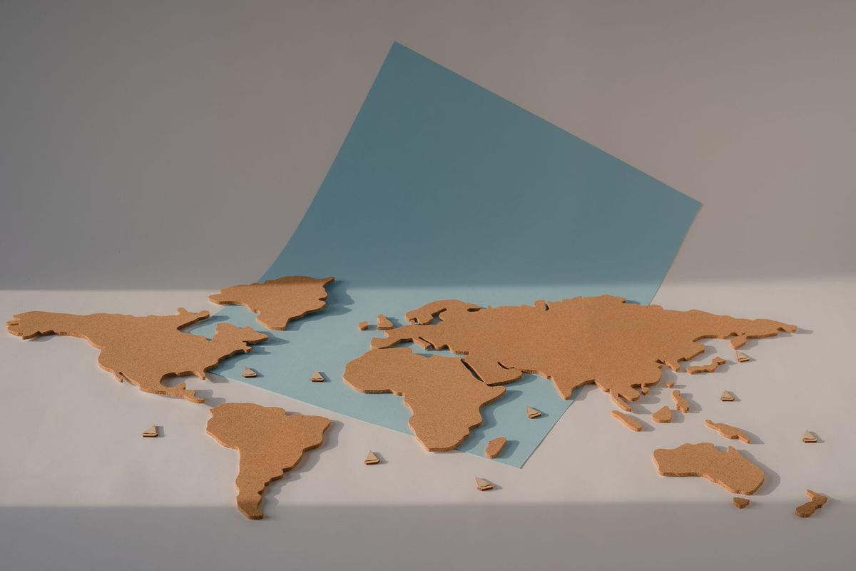
According to a report by Scroll.in, there is a growing movement among nations in the Global South, including India and various African countries, to challenge the dominance of the Mercator projection in world maps. The Mercator map, which has been the standard for centuries, is criticized for significantly distorting the relative sizes of landmasses. Specifically, it tends to inflate the size of countries near the poles while shrinking the perceived scale of regions near the equator, such as Africa, Latin America, and South Asia.
Proponents of this decolonization campaign argue that the map is not merely a neutral scientific tool but a reflection of Eurocentric historical perspectives that have influenced global perceptions of power and geography. By advocating for alternative projections, such as the Gall-Peters projection, these nations aim to provide a more accurate representation of the world's land area. This shift is seen as an important step in correcting long-standing biases that have marginalized the visual representation of developing nations in educational and political contexts.
The campaign highlights how cartography has historically served as a medium for reinforcing geopolitical hierarchies. As India and African nations seek to assert greater influence on the international stage, the push for more equitable mapping is increasingly viewed as a symbolic and practical component of their broader diplomatic and cultural objectives. The movement continues to gain traction in academic circles and among policymakers who emphasize the importance of visual accuracy in global discourse.
Truth Score
85/100
Likely True
Why this score
The article discusses the well-documented cartographic phenomenon where the Mercator projection distorts landmass sizes, particularly favoring northern regions over the Global South. While the specific political campaign mentioned is a niche topic, the underlying geographical and historical context regarding map bias is widely recognized in academic and geopolitical discourse.
Cross-checked against
No corroborating trusted sources found.
Original report: Scroll.in