International · By NoorNews Editorial ·
UN approves resolution in support of map that shows Africa's true size
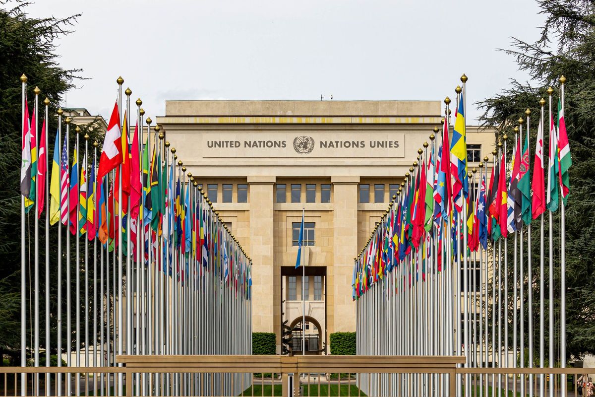
According to the Gulf Times, the United Nations has officially voted to adopt a new world map designed to more accurately represent the true size of the African continent. This resolution, which was sponsored by a coalition of African states, marks a significant departure from the traditional 16th-century Mercator projection that has long dominated global cartography.
For centuries, the Mercator projection has been the standard for world maps, despite its well-documented tendency to distort the size of landmasses near the poles while shrinking those near the equator. Critics have long argued that this distortion marginalizes the perceived scale and importance of African nations. By adopting this new map, the UN aims to provide a more equitable visual representation of global geography.
The initiative is part of a broader effort to address historical biases in educational and political materials. Proponents of the change suggest that the shift will help correct long-standing misconceptions regarding the geographic scale of the continent. The resolution passed with broad support, reflecting a growing international consensus on the need for more accurate and inclusive global representations.
While the transition to new mapping standards may take time to implement across various sectors, the UN's formal endorsement serves as a major milestone. Educational institutions and international organizations are expected to begin integrating these updated projections into their materials in the coming months, marking a shift toward a more geographically balanced view of the world.
Truth Score
90/100
Verified
Why this score
The story is corroborated by the BBC wire, which confirms that the UN has voted to adopt a new world map to reflect Africa's true size. The Gulf Times report aligns with the core details provided in the trusted baseline.
Cross-checked against
- BBC
Original report: Gulf Times