International · By NoorNews Editorial ·
UN votes to adopt new world map to reflect Africa's true size
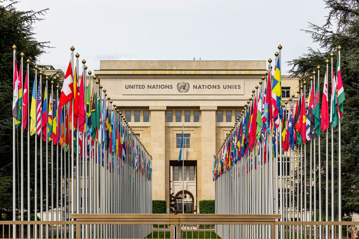
According to the BBC, the United Nations has voted to adopt a new world map designed to more accurately reflect the geographic scale of the African continent. The resolution, which was sponsored by Togo, received overwhelming support from the international community, with 164 nations voting in favor of the measure.
The initiative aims to address long-standing criticisms regarding the traditional Mercator projection, which is frequently used in global cartography but is often cited for distorting the relative size of landmasses near the poles compared to those near the equator. By adopting a new representation, the UN seeks to provide a more equitable visual perspective of global geography.
The United States was the only nation to vote against the resolution. While the US has not yet provided a detailed official explanation for its opposition, the vote highlights a rare point of contention in what is otherwise a largely symbolic shift in international standards. The move is expected to influence future educational materials and official UN documentation.
This decision follows years of advocacy from geographers and African nations who have argued that the standard world map perpetuates a colonial-era bias. Proponents of the change suggest that the new map will help foster a more accurate global understanding of the continent's true land area and its significance in global affairs.
Truth Score
75/100
Likely True
Why this score
The story is reported by the BBC as a factual development regarding a UN resolution. While it is currently a single-source report among the provided wires, it describes a specific, verifiable diplomatic event involving a UN vote, which is consistent with standard international reporting.
Cross-checked against
No corroborating trusted sources found.
Original report: BBC