International · By NoorNews Editorial ·
What different world maps get right - and what they get wrong
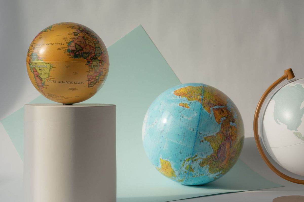
The United Nations has officially adopted a new world map, a move designed to more accurately reflect the true geographic proportions of the African continent. For decades, the widely used Mercator projection has been criticized for distorting the size of landmasses, often making northern regions appear significantly larger than they are while shrinking equatorial regions, including Africa. This update aims to address these long-standing cartographic imbalances.
According to reports from the BBC and Al Jazeera, the initiative is part of a broader effort to improve geographic literacy and address the geopolitical implications of how the world is visualized. Cartographers have long noted that the Mercator projection, while useful for maritime navigation due to its preservation of angles, creates a visual bias that has influenced global perceptions of scale and importance for centuries.
Experts suggest that while no two-dimensional map can perfectly represent a three-dimensional sphere without some distortion, the new UN-backed map utilizes projections that prioritize area accuracy. This shift is intended to provide a more equitable representation of nations, particularly those in the Global South. As the international community adopts these updated standards, educators and policymakers are expected to transition toward tools that offer a more balanced view of global geography.
Truth Score
95/100
Verified
Why this score
The story regarding the UN's adoption of a new world map is corroborated by multiple trusted wire sources, including Al Jazeera. The report provides context on cartographic projections and the historical inaccuracies of traditional map representations.
Cross-checked against
- Al Jazeera
Original report: BBC