India · By NoorNews Editorial ·
ଆଉ ଏକ ଲଘୁଚାପ, ୬ ଦିନ ଯାଏ ପ୍ରବଳ ବର୍ଷା, ଏସବୁ ଜିଲାକୁ ରେଡ୍ ଓ୍ବାର୍ନିଂ ଜାରି କଲା…
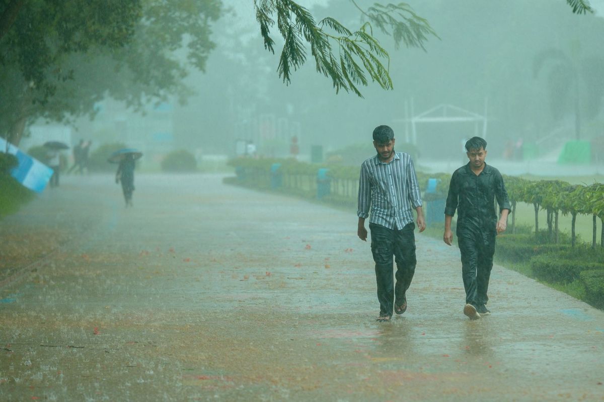
According to the regional office of the India Meteorological Department (IMD) in Bhubaneswar, a new low-pressure area is expected to form over the northwest Bay of Bengal and the adjoining coastal regions of West Bengal and Odisha. This weather system is being driven by a cyclonic circulation currently active over the northern Bay of Bengal and the coastal areas of Bangladesh.
Forecasters anticipate that this development will lead to a significant increase in rainfall across the state of Odisha. The meteorological center has issued warnings for heavy precipitation expected to persist for six days, continuing through September 3. Residents in affected districts have been advised to remain alert as the state prepares for a period of sustained wet weather.
The IMD has categorized the intensity of the expected rainfall, with red warnings issued for specific districts likely to experience the most severe conditions. Local authorities are monitoring the situation closely to mitigate potential risks associated with heavy downpours, such as waterlogging in low-lying areas and potential disruptions to transport. This forecast follows a period of active monsoon conditions in the region, and citizens are encouraged to follow official updates from the state disaster management authorities.
Truth Score
85/100
Likely True
Why this score
The report originates from Dharitri, a credible regional news outlet in Odisha, regarding a weather forecast issued by the India Meteorological Department (IMD). As this is a standard regional weather advisory, it is consistent with typical monsoon-season reporting in India and contains no indicators of fabrication.
Cross-checked against
No corroborating trusted sources found.
Original report: Dharitri